Quickstart
Requirements
- topojson
- PostgreSQL ≥ 9.4
- Django ≥ 2.0
Install
$ pip install politico-civic-geography
Configure
- Add the app and Django Rest Framework to the installed apps in your project settings and configure app specific settings.
# settings.py

INSTALLED_APPS = [
    # ...
    "rest_framework",
    "geography",
]

CENSUS_API_KEY = os.getenv("CENSUS_API_KEY")
GEOGRAPHY_AWS_ACCESS_KEY_ID = os.getenv("AWS_ACCESS_KEY_ID")
GEOGRAPHY_AWS_SECRET_ACCESS_KEY = os.getenv("AWS_SECRET_ACCESS_KEY")
GEOGRAPHY_AWS_S3_BUCKET = os.getenv("AWS_S3_BUCKET")
GEOGRAPHY_AWS_REGION = "us-east-1" # default
GEOGRAPHY_AWS_S3_UPLOAD_ROOT = "elections" # default
GEOGRAPHY_AWS_ACL = "public-read" # default
GEOGRAPHY_AWS_CACHE_HEADER = "max-age=3600" # default
GEOGRAPHY_API_AUTHENTICATION_CLASS = "rest_framework.authentication.BasicAuthentication" # default
GEOGRAPHY_API_PERMISSION_CLASS = "rest_framework.permissions.IsAdminUser" # default
GEOGRAPHY_API_PAGINATION_CLASS = "geography.pagination.ResultsPagination" # default
- Add the app to your project’s urlconf.
# urls.py

urlpatterns = [
    # ...
    path('geography', include('geography.urls')),
]
- Migrate you DB.
$ python manage.py migrate
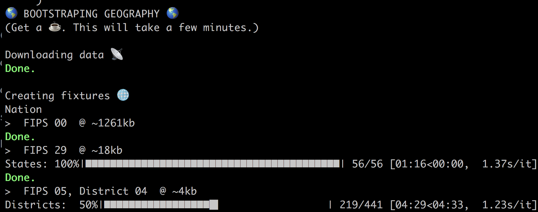
Bootstrap
Bootstrap your database with geographic data from the U.S. Census Bureau. Running this command will create Geography and Geometry fixtures for states, counties, congressional districts and townships.
$ python manage.py bootstrap_geography
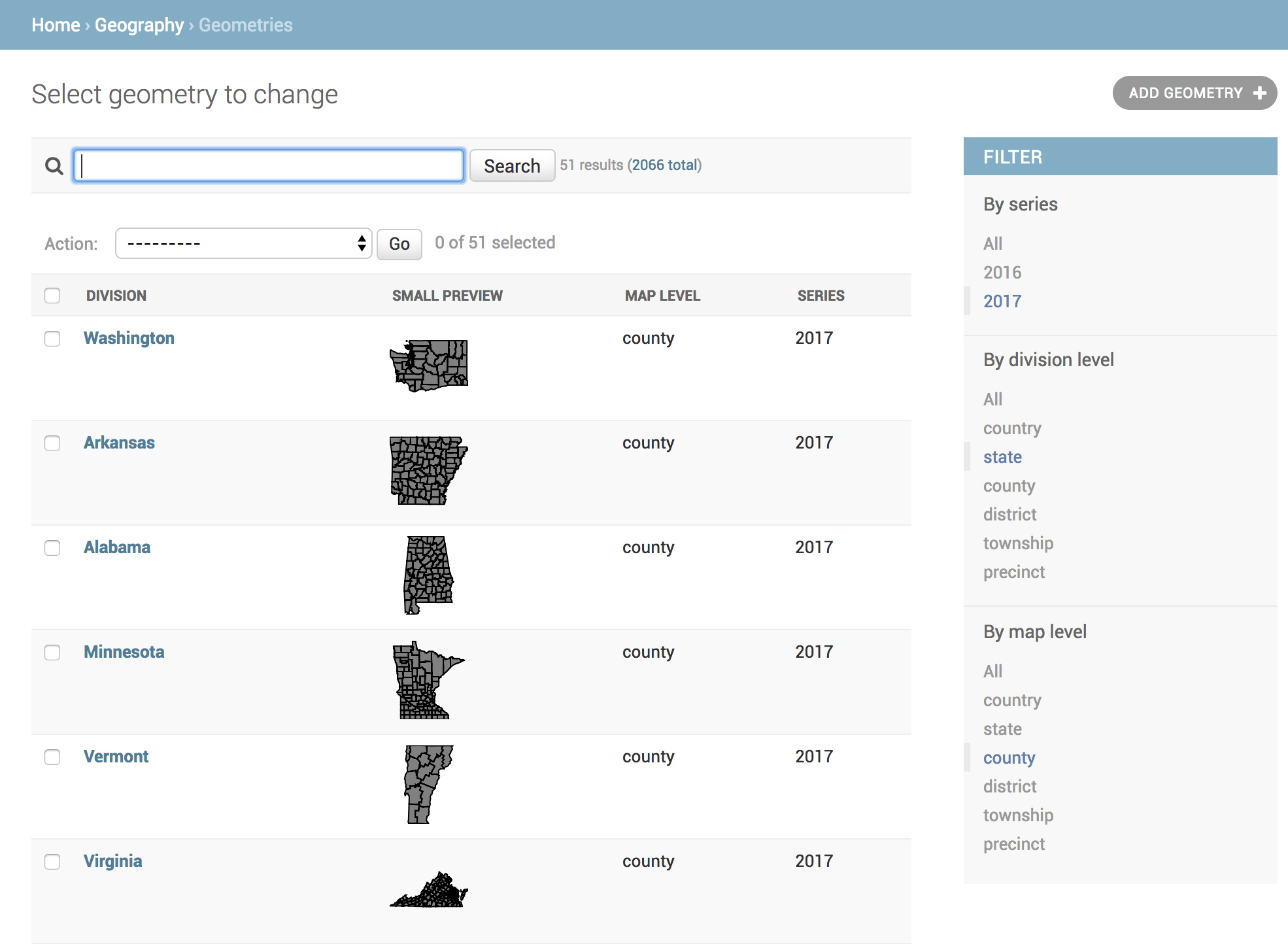
See Management for more details on using this command and on baking geometry TopoJSON files to AWS S3.